Single License is for one user. Site License is for 10 users
DrillHoleMS is a Windows program for drawing and plotting drill hole/mine cross sections, drill/well logs and plans. A wide variety of options allow the sections, logs and plans to be customized to your requirements. Designed for presenting and interpreting geological field data. DrillHoleMS consists of 5 integrated modules built into one application. These 5 modules are:
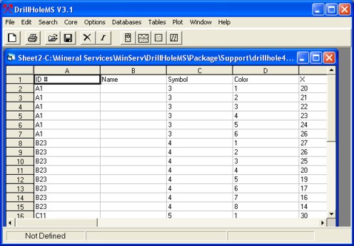
1. Spreadsheet Module for entering and editing data
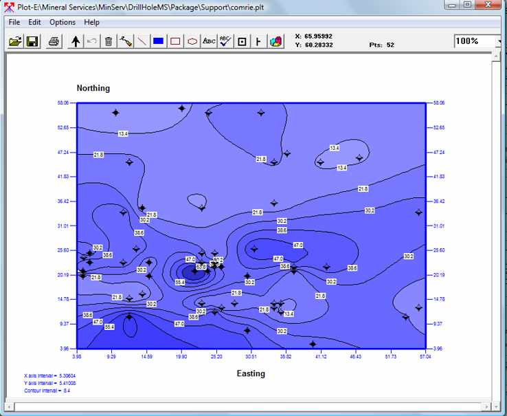
2. Drill Hole Plotting Module for drawing and plotting plans, gridding and contouring
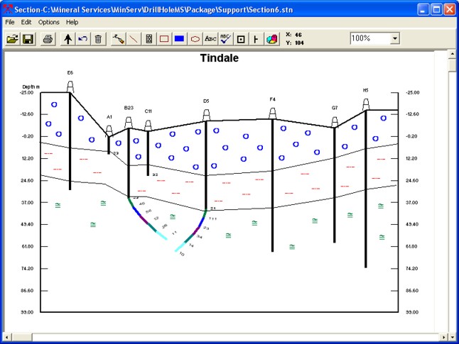
3. Cross Section Module for drawing and plotting cross sections
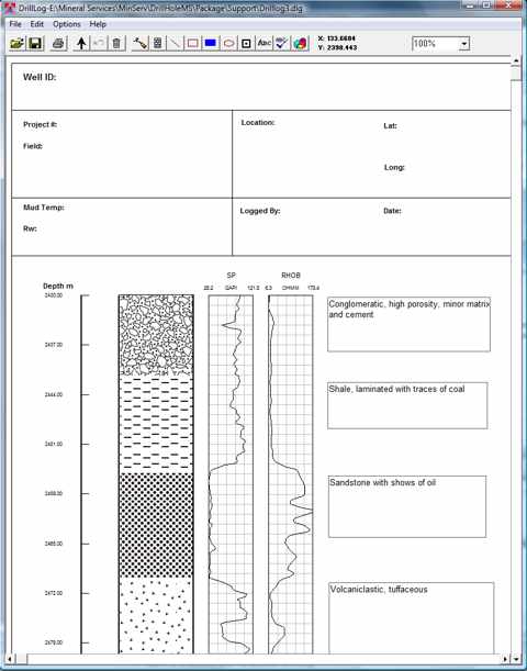
4. Drill Log Module for drawing and plotting drill/well logs
5. Map Drawing Module for drawing geological and other maps
- Windows XP, Vista, Windows 7, 8, 10
- Plot and Draw Drill Hole Plans, Cross Sections and Drill/Well Logs, Geological and Other Maps
- Gridding, Kriging, Inverse Distance, Contouring
- 3D Surface Plots
- Import Tab, Comma, Space, Semi-colon Delimited and Fixed Width Files.
- Builtin Spreadsheet for Entering and Editing Data
- Save and Print Drill Logs, Sections and Plans
- Plot Wireline Logs, Import Log ASCII Standard (LAS) Files and Ascii Files
- Plot Depth Intervals and Individual Curves From Wireline Log Files
- Builtin Symbol Library for Plans, Sections and Drill Logs
- 60 Lithology Symbols, 36 Patterns, 24 Well/Drill Hole/Mine Symbols Included.
- Use Additional Windows Symbol Fonts
- Optional Mineral Databases
- Core Description Report Templates
- Draw Custom Geological Maps
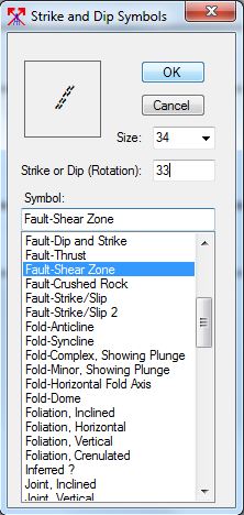
- Mapping Symbol Font with Bedding, Foliation, Fold, Fault, Lineation, Cleavage, Dyke and Joint Symbols Included
- North Arrows and Scale bar
- Five Drill Log Templates Builtin
- Three Log Header Templates Builtin, Core Log, Environmental Borehole Log and Oil Well Log
- Auto or Manual Scales
- Drawing and Text Tools Including Line, Box, Filled Box, Ellipse, Text, Symbol Pen
- Choice of Colors, Labels, Symbols and Fonts
- Cross Sections Support Inclined and Deviated Drill Holes
- Reference Charts Including Map Symbols, Rock Color, Timescale, Volume Estimation, Grainsize Charts
- Printing and Clipboard Support, Print Vector and Bitmaps
- Output to Bitmap or PDF Files
- Paper Sizes A5 to A1, C, D Supported
- Html Help System, PDF Manual
 |
